

Type:
Year Established:
1870
Existing:
No
Source:
LL-1901
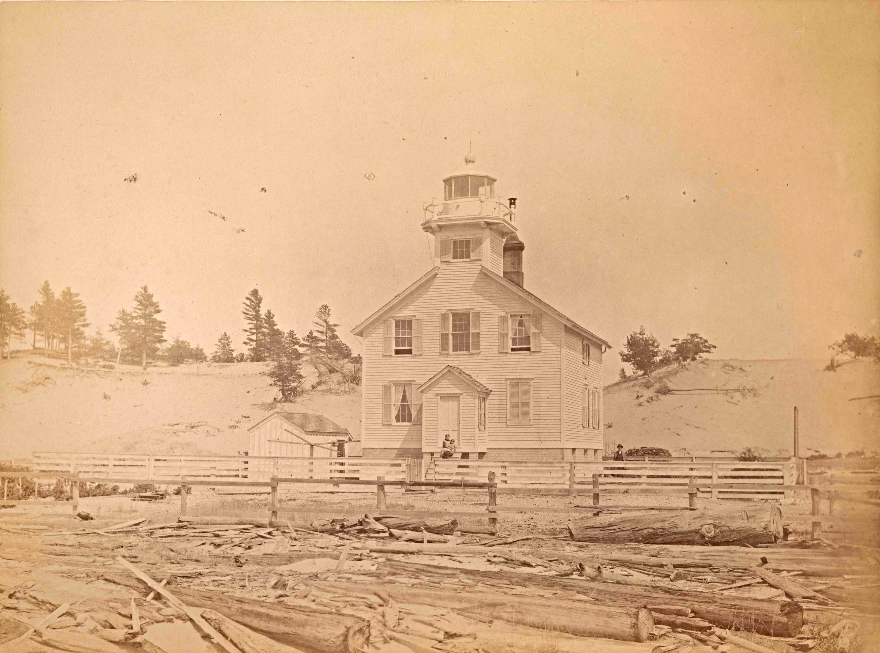
Download:
Manistee MI 1883 26-LG-56-18a-ac.jpeg (414.87 KB)

File Type:
jpeg (image/jpeg)
Photo Date:
1883
Photo Credit:
RG 26-LG-56-18A-ac
Photo Courtesy of:
US Lighthouse Society Archives
Collection / Donor:
LOCATION
Location:
North side of Manistee River
Latitude:
44° 15'00"
Longitude:
86° 20'19"
City / Town:
Manistee
U.S. State:
Michigan
Country:
United States
OWNER & ACCESS
Open to Public:
No
STRUCTURE
Disposition:
tower removed and building moved to new location
Year Tower Established:
1872
Height of light above mean high water, in feet:
45 FT ABOVE WATER
Height, in feet, from base of structure to center of lantern:
43 FT
Fog Signal Building?:
No
Keeper's Quarters?:
No
Year Keeper's Quarters:
1872
OPTICS
Original Optic Type:
5th Order
Year Original Lens Installed:
1872
Private Aid:
No
USCG Access to Optics:
No
More Information
Comments:
Entered by:
Entered Date:
Jan 15, 2018